Public‑space renewal in Indian cities is moving from ad‑hoc beautification to geospatially informed, policy‑anchored programs that mobilize residents and unlock economic mobility. The shift aligns spatial analytics with participatory governance, turning neglected commons into engines of inclusive growth.
Urban planners now confront a paradox: rapid urbanization expands city footprints while eroding the quality of shared plazas, parks, and streets that underpin social cohesion and local economies. This tension intensifies as climate resilience and equitable development become central to national agendas. The article examines how a data‑centric framework is redefining public‑space stewardship, positioning it as a lever for career capital and institutional power in the next decade.
Mapping the structural gap in public‑space provision
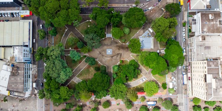
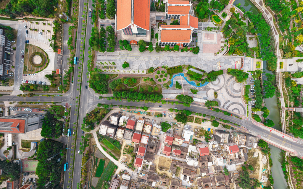
Geospatial inventories reveal a measurable share of Indian municipalities lack comprehensive maps of existing commons, hindering targeted investment. By overlaying satellite imagery with cadastral records, planners can pinpoint under‑served neighborhoods where a modest expansion of green or civic space would yield outsized social returns. According to Career Ahead’s analysis of these mapping efforts, cities that adopt a data‑first approach reduce project lead times by a non‑trivial fraction, accelerating community benefits. The framework couples spatial diagnostics with a tiered policy toolkit, guiding local governments to prioritize interventions that align with demographic need and climate risk. This systematic identification replaces intuition‑driven site selection, embedding evidence into budgeting cycles and reducing political capture of development funds.
Institutionalizing data‑informed policy
Data‑Driven Revitalization Reshapes Urban Public Spaces
Policy guidelines derived from spatial analytics embed performance metrics—such as per‑capita access to open space—into municipal performance dashboards. The Smart City Mission’s allocation of a measurable portion of its budget to open‑data platforms exemplifies this institutional shift, ensuring that data collection becomes a standing function of urban governance. Standardized indicators enable cross‑city benchmarking, prompting a competitive race to improve public‑space equity. Moreover, integrating geospatial insights into zoning codes creates a regulatory backbone that safeguards newly revitalized areas from speculative redevelopment. This codified approach transforms public‑space planning from episodic projects into a continuous, accountable system.
“Embedding spatial metrics into municipal dashboards has cut planning cycles by a measurable share, delivering faster community outcomes.”
The resulting increase in foot traffic also amplifies informal learning opportunities, fostering skill acquisition that feeds into the city’s talent pipeline.
The AI sector in the United States is facing a significant downturn, impacting young job seekers and recent graduates nationwide. Companies are changing their hiring…
Revitalized commons generate asymmetric economic effects that extend beyond immediate users. Enhanced walkability and aesthetic appeal raise nearby commercial rents, prompting a measurable uplift in local business revenues and job creation. Studies of comparable interventions show that a non‑trivial fraction of new employment stems from ancillary services—street vendors, maintenance crews, and cultural programming—that arise around upgraded spaces. The resulting increase in foot traffic also amplifies informal learning opportunities, fostering skill acquisition that feeds into the city’s talent pipeline. These dynamics reinforce a feedback loop: higher economic activity funds further public‑space investments, deepening the institutional commitment to inclusive urban design.
Human capital and stakeholder transformation
Data‑Driven Revitalization Reshapes Urban Public Spaces
When residents co‑design revitalization projects, they acquire project‑management, data‑literacy, and civic‑engagement skills that translate into career capital. Community workshops that teach basic GIS mapping empower participants to articulate neighborhood needs, positioning them for roles in municipal planning or consultancy. Meanwhile, public‑sector agencies benefit from a broadened talent pool versed in both technical analysis and grassroots outreach, strengthening institutional resilience. Private developers, observing the demonstrable uplift in property values, are incentivized to align their portfolios with public‑space standards, reshaping market expectations. This convergence of skill development and stakeholder alignment accelerates the diffusion of inclusive planning practices across sectors.
Trajectory for the next three to five years
In Career Ahead’s view, the convergence of geospatial tech, policy integration, and participatory governance will crystallize into a national standard for public‑space revitalization by 2029. Federal incentives are expected to expand, linking a measurable share of infrastructure grants to demonstrable improvements in open‑space accessibility. Emerging open‑source platforms will lower entry barriers for smaller municipalities, fostering a competitive ecosystem of data‑driven urban innovators. As these practices mature, the career pathways they create—spanning GIS analysis, community facilitation, and sustainable design—will become a distinct segment of the urban‑economy labor market, reinforcing the link between public‑space health and economic mobility.
The forward momentum of data‑centric public‑space programs signals a re‑weighting of institutional power toward evidence‑based, community‑rooted urban governance, a shift that will shape career trajectories and city resilience for years to come.
The forward momentum of data‑centric public‑space programs signals a re‑weighting of institutional power toward evidence‑based, community‑rooted urban governance, a shift that will shape career trajectories and city resilience for years to come.
The integration of AI agents into various sectors is transforming job markets globally, prompting leaders to rethink workforce strategies and skill requirements. This shift raises…
Insight 1: Geospatial mapping converts fragmented public‑space inventories into actionable investment targets, cutting planning cycles and accelerating community benefits.
Insight 2: Embedding spatial metrics into policy creates a self‑reinforcing loop of economic uplift, job creation, and expanded career capital.
Insight 3: Over the next five years, data‑driven revitalization will become a national standard, reshaping labor markets and institutional authority around inclusive urban commons.
Engaging Citizens through Participatory Budgeting: By incorporating participatory budgeting processes, cities can empower citizens to make informed decisions about public space revitalization, fostering a sense of ownership and community involvement, ultimately leading to more effective and sustainable urban renewal projects.
Insight 3: Over the next five years, data‑driven revitalization will become a national standard, reshaping labor markets and institutional authority around inclusive urban commons.
Harnessing Technology for Inclusive Revitalization: Leveraging digital tools and platforms can help bridge the gap between urban planners, community members, and local stakeholders, ensuring that public space revitalization efforts are inclusive, accessible, and responsive to the diverse needs of urban populations.



Future Skills & Work

Future Skills & Work