Delhivery announced an AI-driven digital mapping platform with NVIDIA to improve logistics efficiency and support education material delivery across India.
Delhivery announced an AI-based digital mapping system in partnership with NVIDIA, targeting India’s fragmented address landscape. The initiative aims to improve last-mile delivery efficiency, including the distribution of educational materials to remote regions.
Delhivery, one of India’s leading logistics providers, revealed on 19 February 2026 that it will develop a digital mapping platform powered by NVIDIA’s artificial-intelligence technology [1]. The project is being built within India and is intended to address longstanding challenges in address standardisation, route optimisation, and supply-chain visibility across the country [1].
The announcement involved Delhivery’s executive team, NVIDIA’s AI division, and several Indian technology startups that specialise in drone operations, hyper-local supply chains, and AI-driven routing [1][4]. The system will be customised to India’s diverse address formats and geographic nuances, leveraging machine-learning models to generate high-resolution, up-to-date maps for logistics planning [1].
AI-Powered Mapping System Development
Delhivery’s platform will integrate NVIDIA’s GPU-accelerated AI models to process satellite imagery, street-level data, and crowdsourced inputs [1]. The company plans to train the models on millions of address records to improve geocoding accuracy in densely populated urban zones as well as sparsely populated rural districts [1].
The development timeline projects a phased rollout beginning in Q3 2026, with pilot testing in select states before a nationwide launch in early 2027 [1]. Delhivery will collaborate with local startups that provide drone delivery capabilities and hyper-local warehousing to validate the system’s routing algorithms under real-world conditions [3][4].
AI-Powered Mapping System Development Delhivery’s platform will integrate NVIDIA’s GPU-accelerated AI models to process satellite imagery, street-level data, and crowdsourced inputs [1].
Industry Context and Partnerships
Delhivery launches AI-driven digital mapping platform to streamline Indian logistics
India’s logistics sector has experienced accelerated growth since 2025, driven by a rebound in consumer demand and renewed manufacturing activity [2]. Industry analysts note that cost reduction and seamless goods movement have become priority objectives for firms seeking to compete in a market projected to exceed $200 billion by 2030 [2].
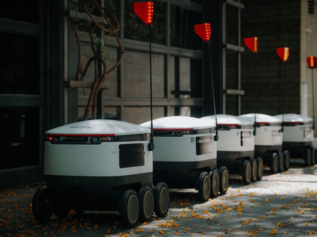
Technology adoption has been central to this shift. Startups are deploying drone deliveries, cold-chain solutions, and AI-driven routing to overcome traditional bottlenecks such as paper-heavy documentation and unreliable inventory systems [3][4]. Delhivery’s partnership with NVIDIA aligns with this broader trend, providing the computational horsepower required for large-scale geospatial analysis [1].
The launch comes at a time when media consumption patterns are rapidly changing. Viewers increasingly prefer on-demand content and real-time updates, prompting networks like Bloomberg…
NVIDIA’s involvement includes supplying the DGX systems and CUDA-based software stacks that enable rapid model training and inference [1]. The collaboration also incorporates joint research initiatives aimed at refining address parsing algorithms for Indian languages and scripts [1].
Implications for Education Delivery
The mapping platform is expected to enhance the delivery of educational resources, particularly in remote and underserved areas. Accurate geocoding will allow school districts, NGOs, and textbook distributors to plan routes that minimise travel time and fuel consumption [1][3].
Improved last-mile logistics could reduce the cost of transporting school supplies, digital learning devices, and printed materials, potentially lowering fees for students in rural schools [2]. The system’s integration with drone networks may enable rapid delivery of time-sensitive items such as exam papers or medical kits for school health programs [3].
Stakeholders in the education sector, including state education boards and private tutoring firms, are monitoring the rollout to align procurement schedules with the new routing capabilities [2]. Immediate benefits are anticipated for institutions that already partner with Delhivery for bulk shipments, as the AI-enhanced maps will provide real-time updates on delivery windows and potential disruptions [1].
Key Facts
Improved last-mile logistics could reduce the cost of transporting school supplies, digital learning devices, and printed materials, potentially lowering fees for students in rural schools [2].
What: Delhivery announced an AI-based digital mapping system to improve logistics and education material delivery in India.
When: Announcement made 19 February 2026; pilot rollout slated for Q3 2026.
In September, the economy added just 150,000 jobs, a stark contrast to the 200,000 jobs analysts had predicted. This slowdown comes amid ongoing inflationary pressures,…




 News
NewsNews